Science Advocacy
Science Advocacy

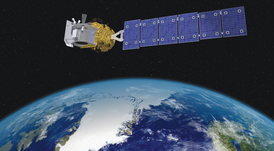
I’ve been following NASA’s ICESat-2 mission with great interest. Why? Maybe because I like words that start with three capital letters. Maybe because it’s going to make the best, most precise measurements of how the Earth’s ice sheets are changing, that anyone has ever made. Maybe for no reason at all.
ICESat-2 launched from Vandenberg Air Force Base a couple of weeks ago, into a near-polar orbit that will fly almost, but not quite, over the North and South poles every 90 minutes for the next 3-7 years. It’s carrying one instrument, which is a laser altimeter—a powerful laser that sends out ultra-short pulses of light, then measures how long they take to bounce off the Earth and come back. Using some mind-boggling optics, ICESat-2 will be able to measure the height of the Earth’s surface using only 12 photons out of the trillions it sends out from each pulse. This sounds crazy, but because it does this ten thousand times every second, it will be able to put together very accurate measurements of the height of the surface. On a clear day, ICESat-2’s measurements will be precise to something like the width of a cucumber (that’s a 40-meter long cucumber, because it needs to combine lots of measurements to be that precise. If you find one of those, send us a picture). The plan for the mission is to have ICESat-2 make these measurements on the same paths across the ice sheets over and over again, so that when glaciers get thinner or thicker, ICESat-2 will measure those changes.
It feels like we have covered most of the major “proofs”, so let’s wrap this up with one last push! Click here for part 1, part 2, and part 3.
 16) The Navigation proof. If the Earth is round, how come boats and planes don’t account for it in their navigation? They just go straight!
This is just not true. First of all, planes traveling long distances fly what is commonly referred to as “great circle routes“, which absolutely account for the curvature of the Earth, allowing them to fly shorter routes than a traditional straight line. This is why you’ll find no airline pilots who think the Earth is flat (besides the fact that they see the curvature of the Earth from their cockpits at work) – they account for the curvature of the Earth every day. We’ve already covered why planes don’t account for the curvature of the Earth in terms of altitude (part 1 proof 4).
Boats don’t generally take great circle routes because they have to worry about things like not hitting land or other boats, currents, and wind, and they are more likely to be traveling near the equator, where circle routes don’t really help. You know what they use to navigate? GPS, which is based on satellites, which wouldn’t exist if the Earth was flat and gravity was a lie. Also, in high latitude navigation (in the arctic), sometimes the GPS satellites are blocked by the curvature of the Earth and other methods need to be employed. Another means of maritime navigation in use since the 1700’s is the sextant. Many ships still carry one today as a backup to GPS-based navigation. Navigators take the refraction of light by the lower atmosphere into account when using a sextant – something you would not need to do on a flat Earth.

Friends don’t let friends believe in flat Earth theory. Let’s spread the work, and bust some more “proofs”! Click here for part 1 and part 2.
 11) The Bedford Level Experiment. In 1870, a flat Earther bet that he could prove the Earth was flat. He lost and ended up in jail.
This is an interesting story. As early as 1838, and Englishman by the very English name of Samuel Birley Robotham* had been performing experiments on the Bedford river in which he lined up several markers of uniform height over the water and used a surveyor’s telescope to “prove” that there was no curvature to the earth. No one paid much attention to Robotham, however, probably because he was wrong. He had forgotten to take into account the refraction of light by the atmosphere (explained in nauseating detail here), which bends light close to the surface of the earth. Sailors had known to correct their telescope sights for light refraction for a hundred years by this time, so Robotham was a bit out of the loop.
Then, in 1870, a guy named John Hampden bet the naturalist Alfred Russel Wallace that he could repeat Robotham’s experiment and prove the Earth was flat. Wallace, however, knew about light refraction, corrected for it, and proved Hampden wrong. Hampden did not accept defeat gracefully – he harassed and defamed Wallace for years, and was eventually jailed for libel and threatening to kill the naturalist.

Welcome to part 2 of our ongoing effort to stamp out the scourge of flat-Earthery. Is that a word? Well it is now. Nice. Click here for part 1. Let’s jump right in:
 6) Some dude took a level on a plane to prove the Earth was flat.
Sooooo….. wow. This guy brought what looks like a 2 foot level on a plane and recorded it on his phone for over 20 minutes (presumably until the flight attendant yelled at him or his phone ran out of battery). Our flat Earther said that since the level read as “level” the entire time, this means that the plane’s flight wasn’t accounting for the curvature of the Earth. This proves nothing, and here’s why:
Over the course of 1 foot, the curvature of the Earth would change by less then 30 millionth of an inch. You cannot detect this with a level you bought at Home Depot. If you had a 1000 foot long level, you would still need to detect less than 3 hundredths of an inch difference. Do you have any idea how hard it would be to manufacture a level that is 1000 feet long AND is so precisely straight AND strong enough that it doesn’t bow under its own weight that could detect such a small curvature? I am not an engineer, so I have no idea, but I am certain it would be the most expensive level in the history of mankind. As near as I can tell, no one has even tried.
Our friend is also assuming that planes only move forward when they fly. This is not true – it’s not even remotely close to true. For example, as a plane lands, the pilot keeps the nose up so the rear landing gear hits first. If you put a level on the floor of the plane during landing, it will tell you the plane is pointing up, but it is clearly descending. I think you get the point – the angle of the cabin of the plane does not necessarily tell you about the direction it is traveling.
There are other reasons this makes no sense, but we at UYBFS will take the high road and not pile on to the trashing this poor fellow is taking on online. We’ll just say that the only thing he proved is the need for better science education in this country.Continue reading…


