Science Advocacy
Science Advocacy

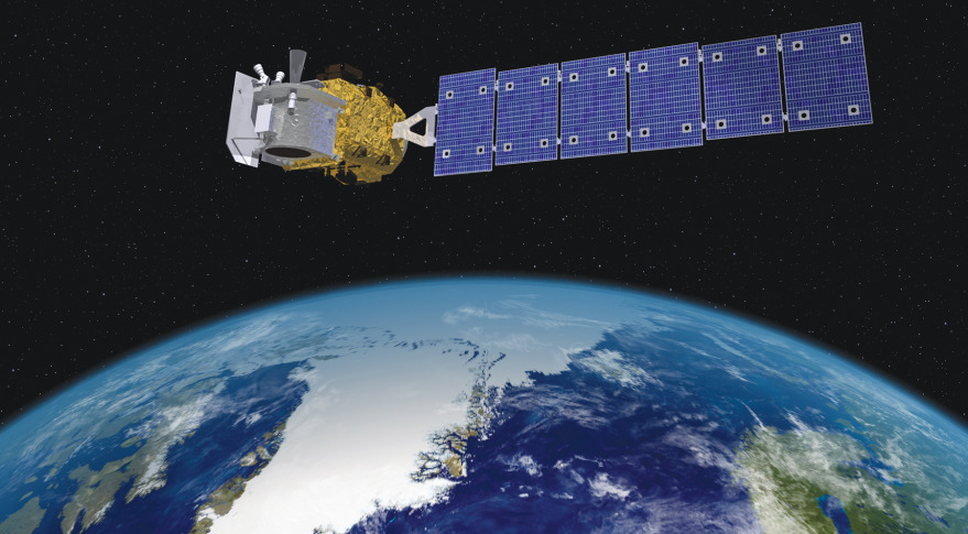
I’ve been following NASA’s ICESat-2 mission with great interest. Why? Maybe because I like words that start with three capital letters. Maybe because it’s going to make the best, most precise measurements of how the Earth’s ice sheets are changing, that anyone has ever made. Maybe for no reason at all.
ICESat-2 launched from Vandenberg Air Force Base a couple of weeks ago, into a near-polar orbit that will fly almost, but not quite, over the North and South poles every 90 minutes for the next 3-7 years. It’s carrying one instrument, which is a laser altimeter—a powerful laser that sends out ultra-short pulses of light, then measures how long they take to bounce off the Earth and come back. Using some mind-boggling optics, ICESat-2 will be able to measure the height of the Earth’s surface using only 12 photons out of the trillions it sends out from each pulse. This sounds crazy, but because it does this ten thousand times every second, it will be able to put together very accurate measurements of the height of the surface. On a clear day, ICESat-2’s measurements will be precise to something like the width of a cucumber (that’s a 40-meter long cucumber, because it needs to combine lots of measurements to be that precise. If you find one of those, send us a picture). The plan for the mission is to have ICESat-2 make these measurements on the same paths across the ice sheets over and over again, so that when glaciers get thinner or thicker, ICESat-2 will measure those changes.

This mission comes ten years after the end of the first laser altimeter satellite that NASA launched, ICESat. That mission was both a galling failure and a great success- the instrument performed badly from the start, burning out the first of its three redundant lasers in a couple of months. But once that laser burned out, NASA changed their strategy for measurements, and started conserving the remaining lasers’ limited lifespan by turning them off ten months out of every year. Thanks to this new plan ICESat made measurements for nearly six years, and generated a set of glacier-change measurements that tell us a lot of what we know Antarctic and Greenland glaciers.
But when you turn a satellite off for most of the year, you miss a lot. The tracks that ICESat flew were few and far between, spaced 30-50 km apart at the poles, so researchers who study smaller glaciers were often disappointed. And the measurements were only made twice a year, so seeing how melting over the summer affected Greenland and the Antarctic Peninsula was hard. And the instrument was not as good as it was supposed to be at making consistent measurements. The exact rate at which the Antarctic Plateau was growing or shrinking should have been easy to measure with ICESat, but instead, that question has spurred a half dozen papers, and not a lot of real clarity. Scientists are pretty sure that the center of Antarctica (the really high, flat part that’s far from the coast) isn’t thickening or thinning by more than about two centimeters per year, but to be more precise than that will take a new satellite.
If ICESat-2 works as intended, it should improve on its ancestor’s faults. The new instrument should run continually, measuring winter, summer, and everything in between. It should measure a track every 3-6 km near the poles, and the new laser design should make more precise measurements that don’t drift over time. But the instrument is just waking up after its launch, and until laser pulses start turning into data files on the web we won’t know for sure that it’s going to work as advertised. The next weeks should show whether NASA’s big new mission will deliver a giant savory slab of data to hungry scientists, or an empty paper bag.


